HORSHAM DISTRICT
Horsham District
The Horsham District zone represents the towns, villages, and hamlets located within the Horsham District boundary - except for locations within the Horsham Town Centre and Horsham Urban Zones.
The map is also available in Full Screen and Full Screen Satellite maps.
Horsham District Zone Map
Horsham District Zone Locations:

Amberley

Ashington

Ashurst

Barns Green

Billingshurst

Broadbridge Heath

Buck Barn

Christ's Hospital

Colgate

Coneyhurst

Coolham

Copsale

Cowfold

Denne Park

Dial Post

Edburton

Faygate

Graylands Estate

Henfield

Hop Oast

Itchingfield

Kingsfold

Lower Beeding

Mannings Heath

Nuthurst

Old Holbrook

Partridge Green

Plummers Plain

Pulborough

Rudgwick

Rusper

Sedgwick

Shipley

Slinfold

Small Dole

Southwater

Steyning

Storrington

Strood Green

Upper Beeding

Warnham

Washington

West Chiltington

West Grinstead

Wickhurst Green

Woodmancote
Map Key:
- Swan Walk Zone - Indoor shopping centre
- West Street Zone - (Mostly) Pedestrianised Shopping Area
- East Street Zone - (Mostly) Pedestrianised Shopping Area
- Carfax Zone - (Mostly) Pedestrianised Shopping Area
- Causeway Zone - Historic and Picturesque
- Park Zone - Green and Open Leisure Space
- Approaches Zone - Mixed use
- Tanbridge Zone - Retail Park
- Horsham Urban Zone - Horsham's Suburbs surrounding the Town Centre Zones
- Horsham District Zone - Horsham District's Towns, Villages and Hamlets
- Catchment Zone - Visit Horsham members located outside of Horsham District.
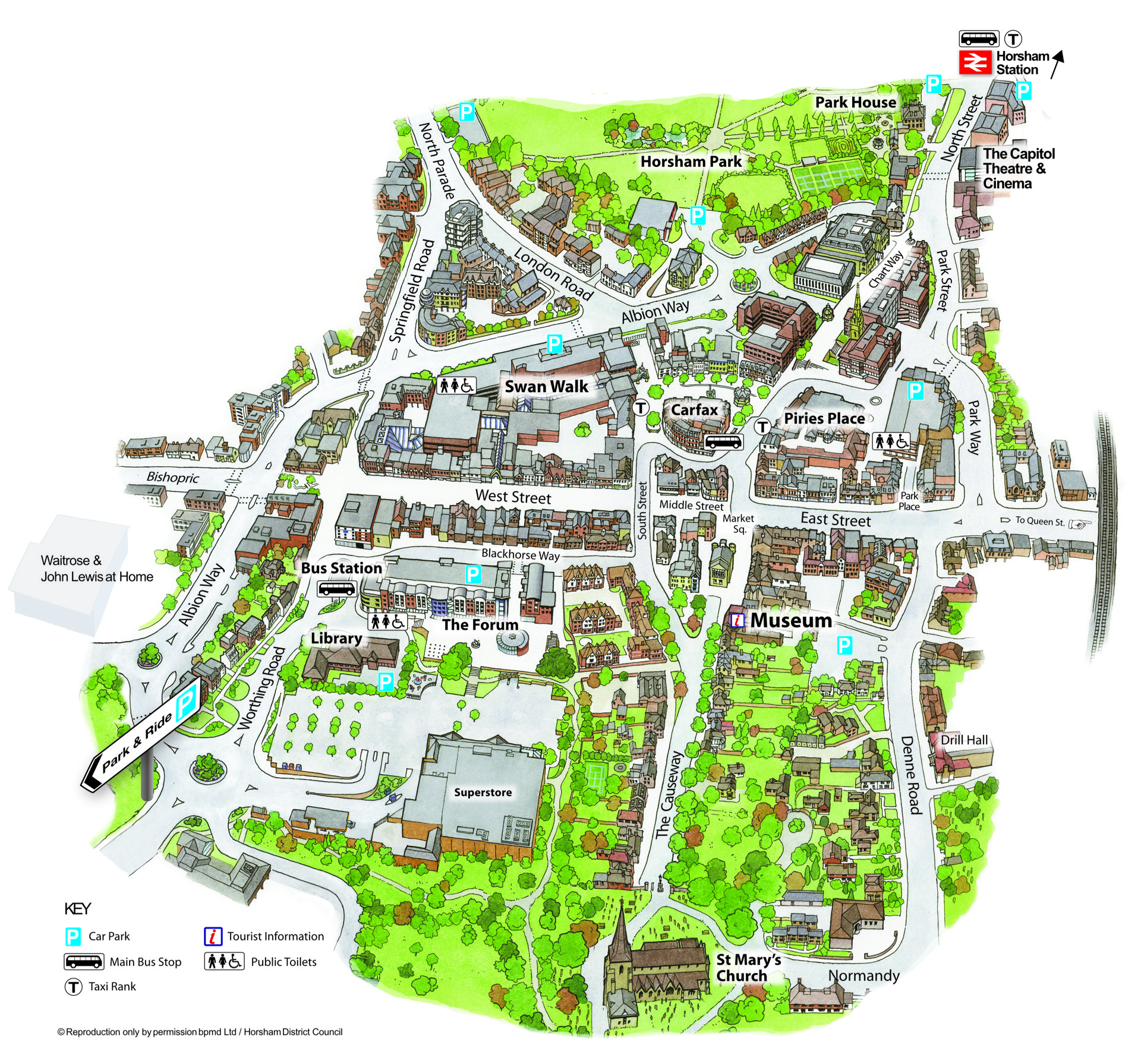
Illustrated Horsham Town Centre Map